Have you ever wanted to drive around the United States delivering mail? Have you wanted to do that in a plane, but slower? Now you can!
#2 in a series of missions based on early Airmail Delivery Routes
Aeronautical Bulletin - Route Information Series Number 2:
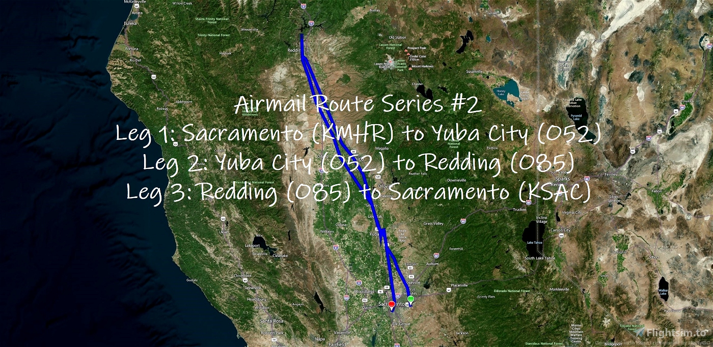
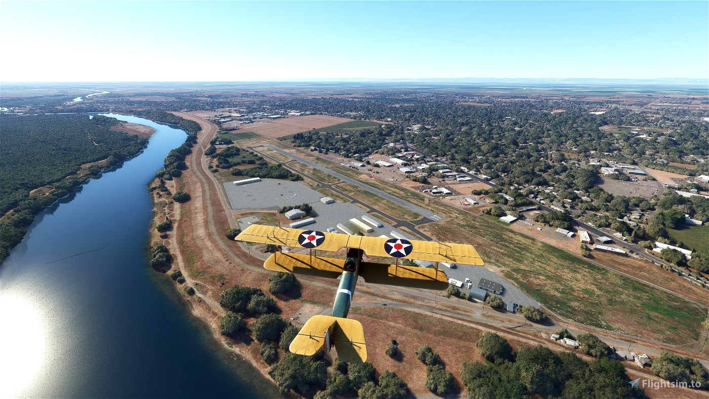
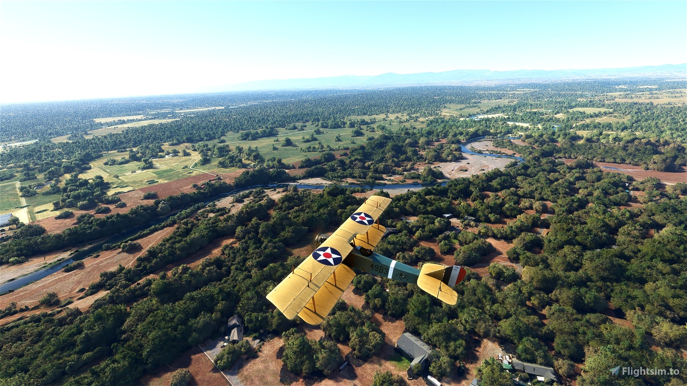
Today's schedule has you leaving from Mather Field in Sacramento, California and flying through the Sutter, Yuba, and Butte regions of the Sacramaneto Valley to Benton Field in Redding, California but you'll need to make a quick stop in Marysville to deliver some important documents along the way. Once you've finished your delivery in Redding, you'll still need to make the long return trip back to Sacramento.
- Flight Length: 272 NM
- Flight Duration: 05:06
- Number of Legs: 3
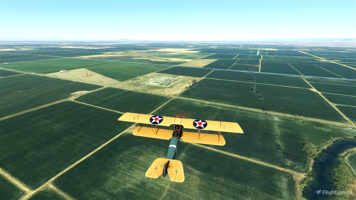
Leg 1: Mather Field (KMHR), Sacramento, California to Sutter County Airport (O52), Yuba City, California
- Departure Time: 8:00AM
- Weather: Live
- Distance: 43.01 NM
- ETE: 00:46
Leg 2: Sutter County Airport (O52), Yuba City, California to Benton Field (O85), Redding, California
- Distance: 95.53 NM
- ETE: 01:44
Leg 3: Benton Field (O85), Redding, California to Mather Field (KMHR), Sacramento Executive (KSAC), Sacramento, California
- Distance: 133.65 NM
- ETE: 02:25
About the Series:
When airmail began in 1918, airplanes were still a fairly new invention. Pilots flew in open cockpits in all kinds of weather, in planes later described as “a nervous collection of whistling wires, of linen stretched over wooden ribs, all attached to a wheezy, water-cooled engine. Pilots followed landmarks on the ground; in fog they flew blind. Gradually, through trial and error and personal sacrifice, U.S. Air Mail Service employees developed reliable navigation aids and safety features for planes and pilots. They demonstrated that flight schedules could be safely maintained in all kinds of weather. Then they created lighted airways and proved that night flying was possible. Once the Post Office Department had proven the viability of commercial flight, airmail service was turned over to private carriers, flying under contract with the Department. In the days before passenger service, revenue from airmail contracts sustained commercial airlines. These missions celebrate those early days of aviation.
All POIs and route markers were hand placed in Littlenavmap using Library of Congress Airway System Set Maps, route direction bulletins, and total guesswork based on the information available.
These routes are not 100% accurate, but I have spent a lot of time to get as close as I can. Many early airports have been abandoned, railroad lines have gone out of business, roads and highways have been built, rivers dry up or get diverted, houses get repainted, water towers get torn down, you get the idea. Though all routes still use the given waypoints and try to stick to the spirit of the original flight, route descriptions have been clarified and POI names have been updated where appropriate.
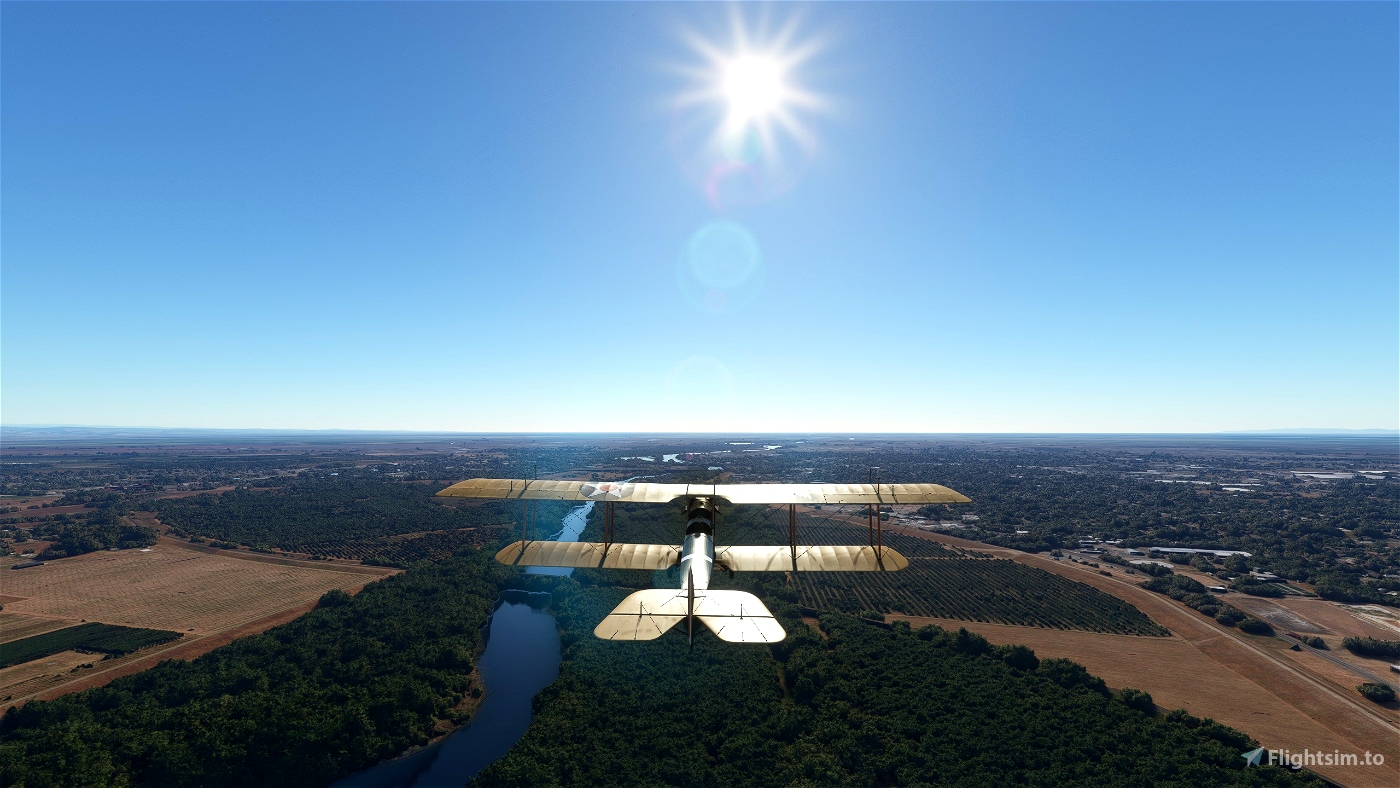
All missions use the Curtiss JN-4D Jenny. You can change the plane in the .FLT file if you know what you're doing.
Most missions will be 2 legs with a flight out and a return trip as they were originally described (Bulletin 2 had Maryville as a via route or optional landing, so I included a separate leg just to break up the flight out a little bit. It's a long one to fly either way).
Installation:
Extract to your community folder
Launch from Activities > Custom Content
Features:
Runway start
No GPS
Autofuel
You're carrying your 170 pound self and 150 pounds of mail in the Co-Pilot seat
The leg will end when you've stopped (you don't have brakes, let it roll)
Navigation Aids: Off but can be enabled if you want waypoint markers
Piloting: All off. Auto-Rudder can't be locked, so if you really want to enable it, go ahead
User Experience: You can set as you want. Navlog will open at the start. VFR map will not. I wish Asobo would actually make it more useful.
Failure and Damages: Enabled but can be turned off
POIs: All Off (they don't appear to work in Bush Trips even if enabled)
Translations are done by machine and are not tested, apologies for any errors
Bulletin 2 Notes:
MS places this between 1A and 1B if you're looking at custom content and have all 3 trips downloaded. It may go by folder name, in which case you can fix it just by renaming usabri-bushtrip-b1-ksackcsy to usabri-bushtrip-ab1b-ksackcsy if seeing that makes you twitchy. Future missions shouldn't have this problem as I've settled on a simple naming convention going forward. I'll do an update on the first two missions over the weekend (no mission content changes, so if you've done them you can skip the new ones)
It's probably something everyone knew but me, but if you exit out to the main menu between legs, the next one will start at 8am (time I set for Leg 1). If you continue, it should be real time. You can always open the weather map and change the time if you want.
Recommended Mods (not Required):
Both Powerlines and Solar Farms and We Love VFR - Region 2, they're not hard requirements, but I have a lot of these I want to get to, so I'm not going to test without both in my lineup.
Sutter County / Yuba City (O52)
Created with BushTripInjector


Looking forward to this flight but when it starts on the runway , I have no controls working...Any ideas ? Thanks mate
1 years ago
icarrus
I flew the first one of this series without issues. For some reason when I start this mission my controls don't work at all. I have tried starting with the same plane and airport from the world map and can fly with my controls just fine. Any ideas about what might be the problem are welcome.
1 years ago
whiplers
Nice routes to fly low and slow. Thanks.
1 years ago
fStopper