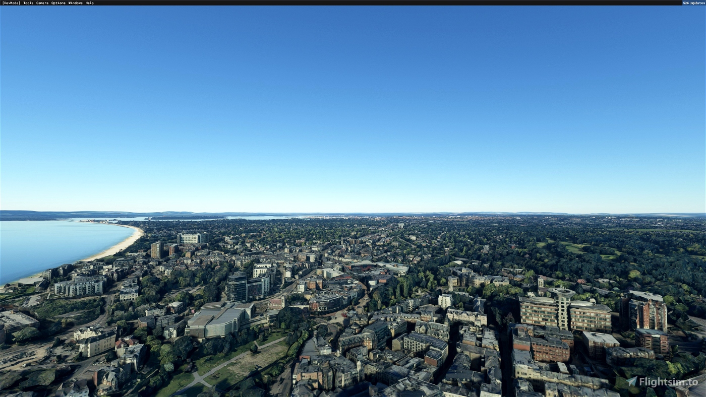
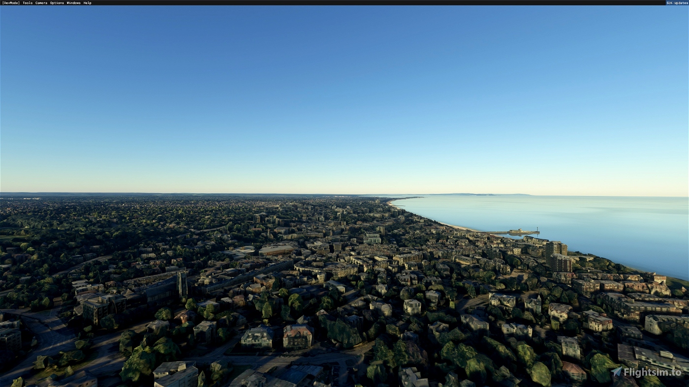
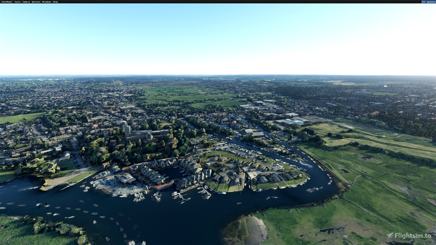
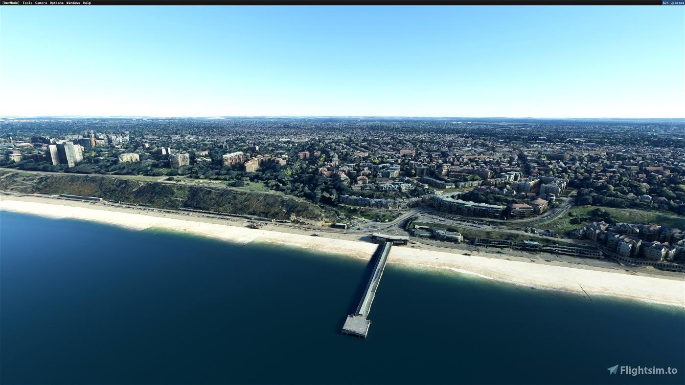
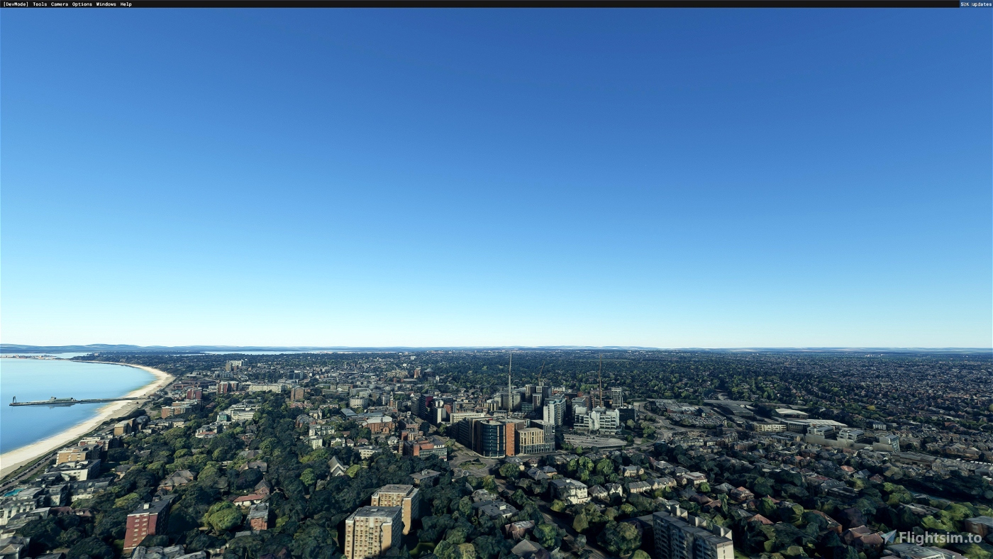
Bournemouth is a coastal resort town in the Bournemouth, Christchurch and Poole council area of Dorset, England. At the 2011 census, the town had a population of 183,491, making it the largest town in Dorset. It is situated on the English south coast, equidistant (24 miles (39 km)) from Dorchester and Southampton. Bournemouth is part of the South East Dorset conurbation, which has a population of 465,000.
I make NO WARRANTIES about compatibility with other accessories - I only use the basic Asobo sets.
Many thanks:
- Jonah Hex 111 for Google Earth Decoder
- Thalixte for Google Earth Decoder optimization tools
Clean weather, good flight!

 Vizipok


Can we get an updated version of this with night lighting?
11 months ago
Ross360
Hi, the colouring seems a bit odd (very clear line between where it starts and stops) and for some reason it stops at Boscombe (no pier showing) and doesn't cover Bournemouth? As said, it does ruin Bmth airport a little. Maybe I'm doing something wrong - what's working looks great! Thanks 😊
2 years ago
Plane_24
Great photogrammetry for daytime flying. Good work. However at night, none of the scenery area has any night lighting. The zone is totally black which completely breaks the immersion. Hopefully this can be fixed for the next update. As Cianpars mentioned, there is some bleed though onto the apron area at EGHH in version 1 which needs to be removed.
2 years ago
Ross360
Nice work Vizipok. FYI. it does encroach on Bournemouth Airport a little, so you might just want to delete that bit if you do a V2 at some point.
Harrier77, there is another scenery on flightsim.to that covers sandbanks, Poole and the islands. I also have photoscenery for Weymouth, Durdle Door and Lulworth Cove (all available here), which gives me a lovely flight along the Dorset coast.
2 years ago
cianpars
Hi, does this scenery include the Poole area and Sandbanks?
2 years ago
Harrier77