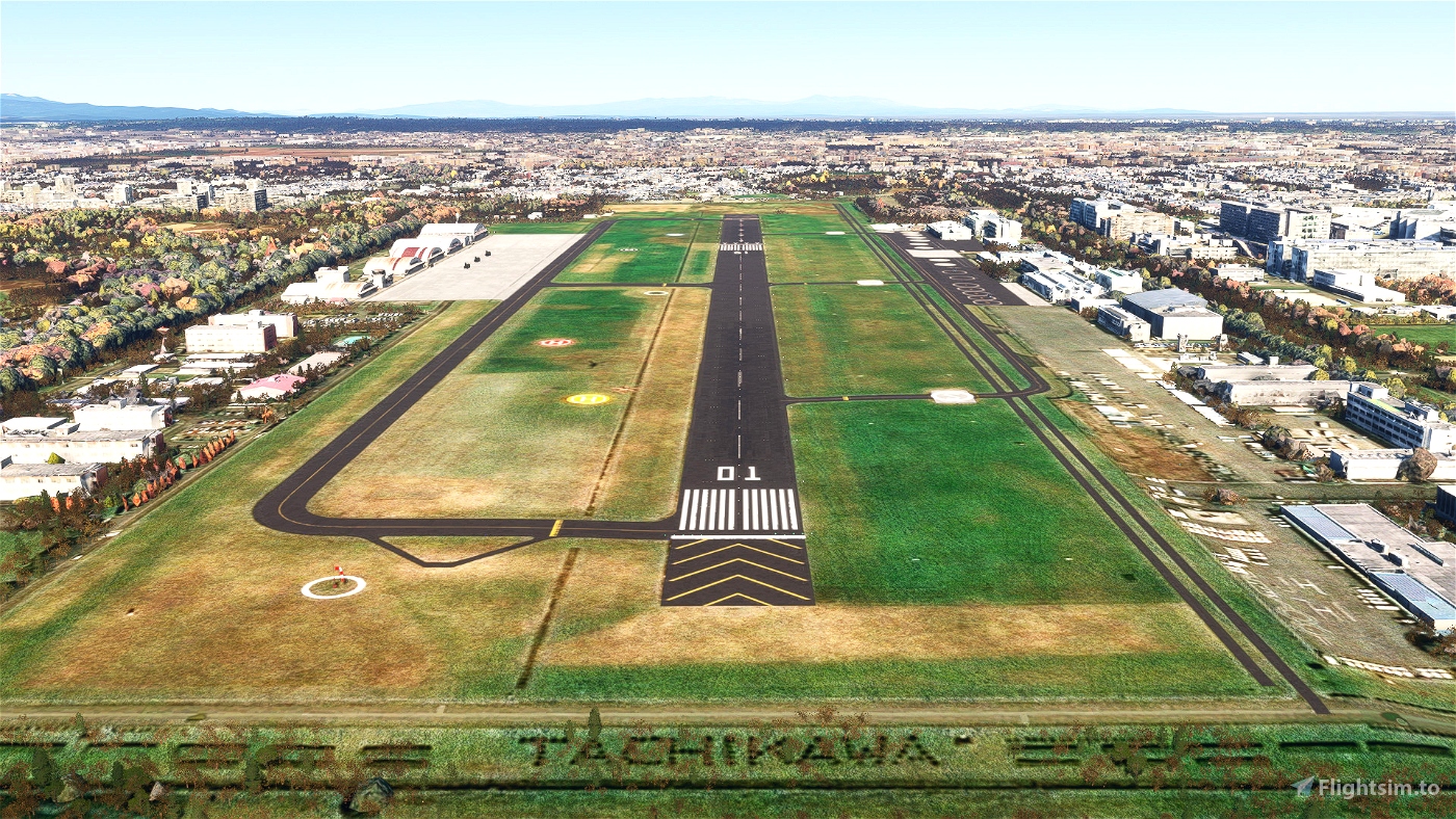
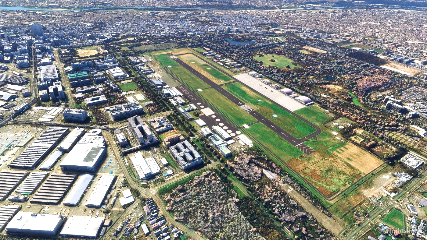
About Tachikawa airfield
Tachikawa Airfield (立川飛行場, RJTC) is located west of Tokyo, with Yokota AB and Iruma AB nearby.
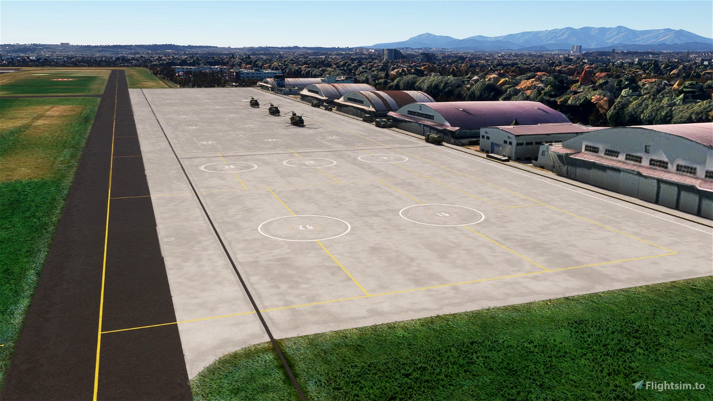
This airfield is also used as a military base and stationed by Japan Ground Self-Defense Force.
This small airfield plays a very important role for Tokyo.
The following operators are based at this airfield.
・Japan Ground Self Defence Force
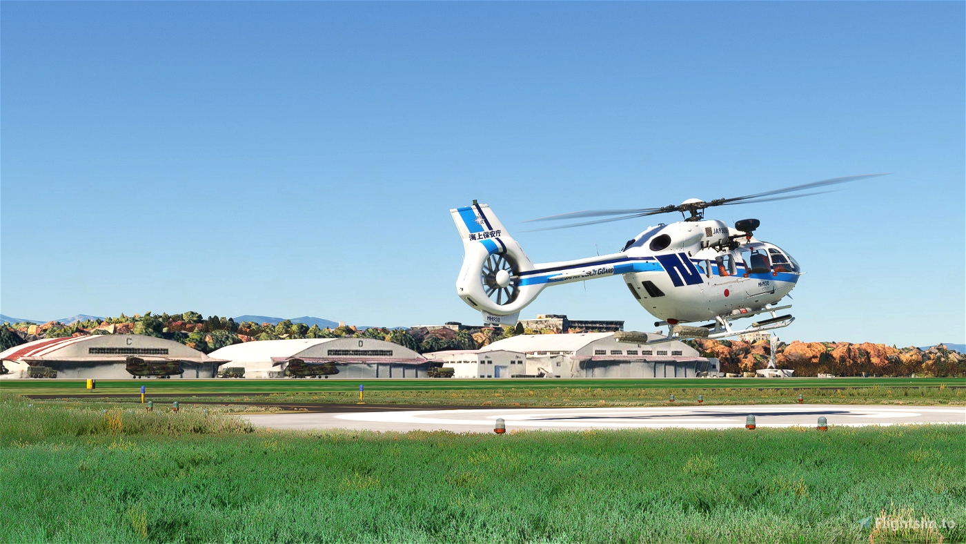
・Japan Coast Guard
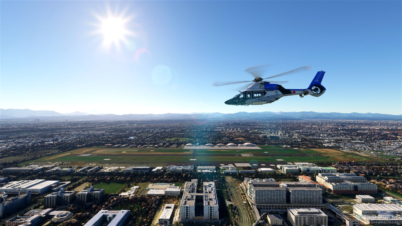
・Tokyo Metropolitan Police Department
・Tokyo Fire Department
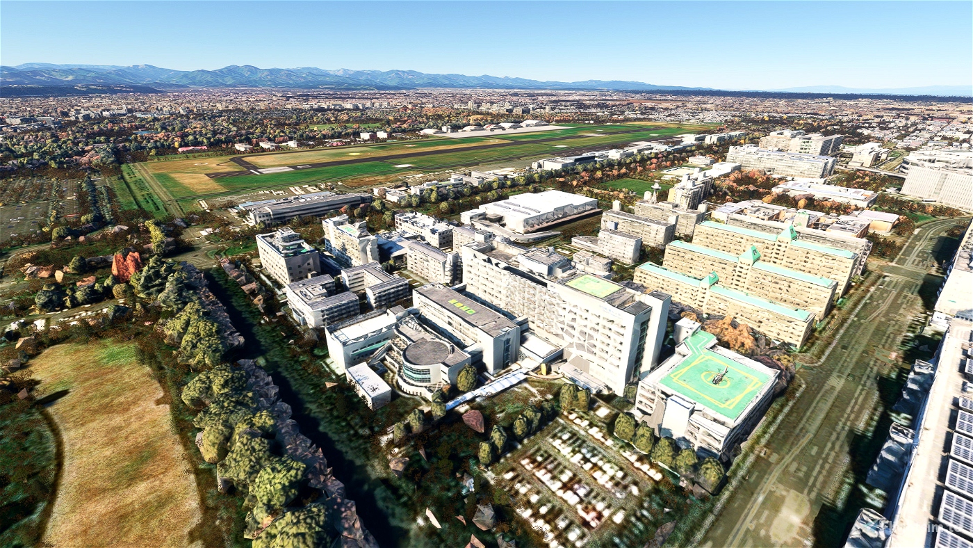
There is also a cluster of police stations, fire station and hospitals, the most notable of which
is the "Substitute Facility of the Government Headquarters for Disaster Countermeasures".
So this airfield serves as a base for disaster response in Tokyo.
Description
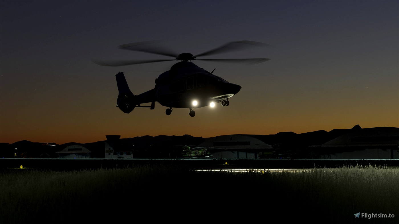
This airfield is very important for helicopter lovers, but unfortunately no add-on existed.
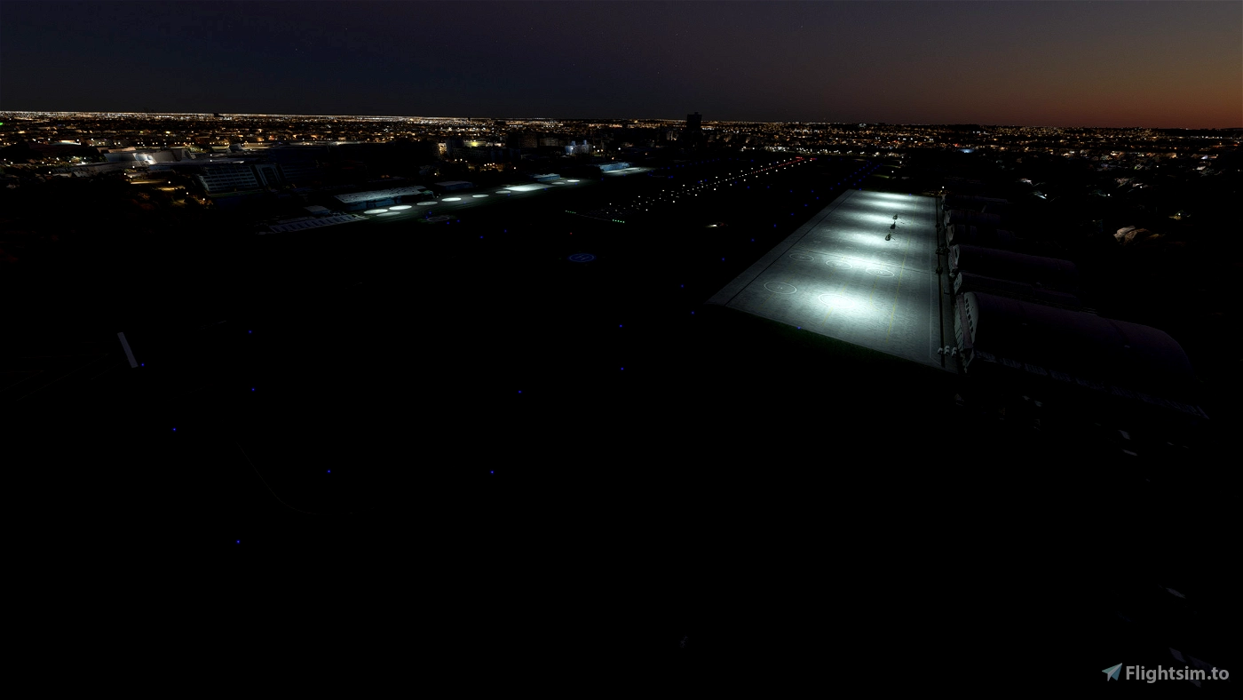
Once I thought about modeling, but I couldn't imagine how to make it(especially the textures), so I used Google Earth Decoder.
Optionally include a layout.json that doesn't use Google Photogrammetry.
Buildings remain the default, but the ground markings will look better.
Please note that this is my first scenery for fixed wing.
So I don't sure that ATC and AI traffic will work properly. Also the runway lighting is not accurate.
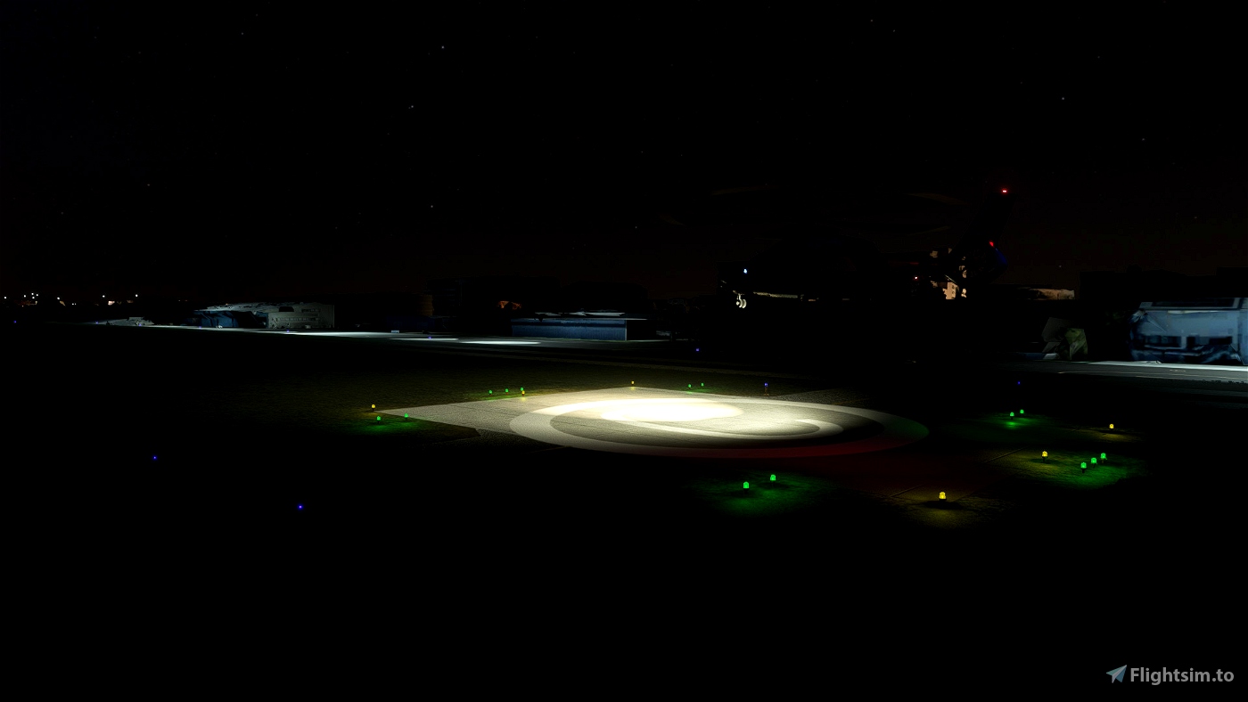
This scenery also includes a helipad of the National Hospital Organization Tachikawa helipads.
Dependencies
Japan Airports Model Library KRC
Mikea.at - Airport Markings
Used Resources
Orange Marking Textures for Airports in Northern Japan
Huge thanks to the creators who made these!
