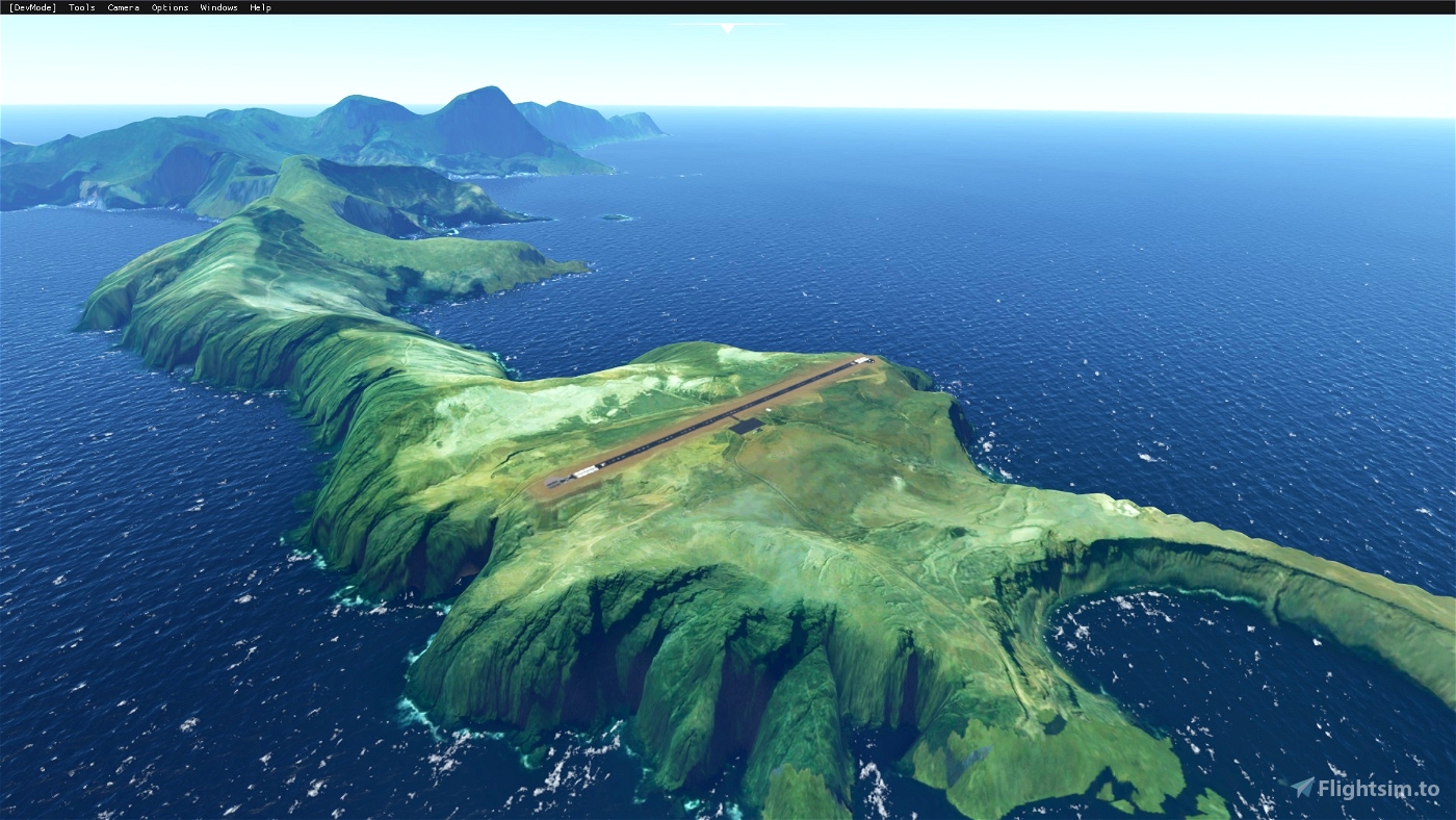
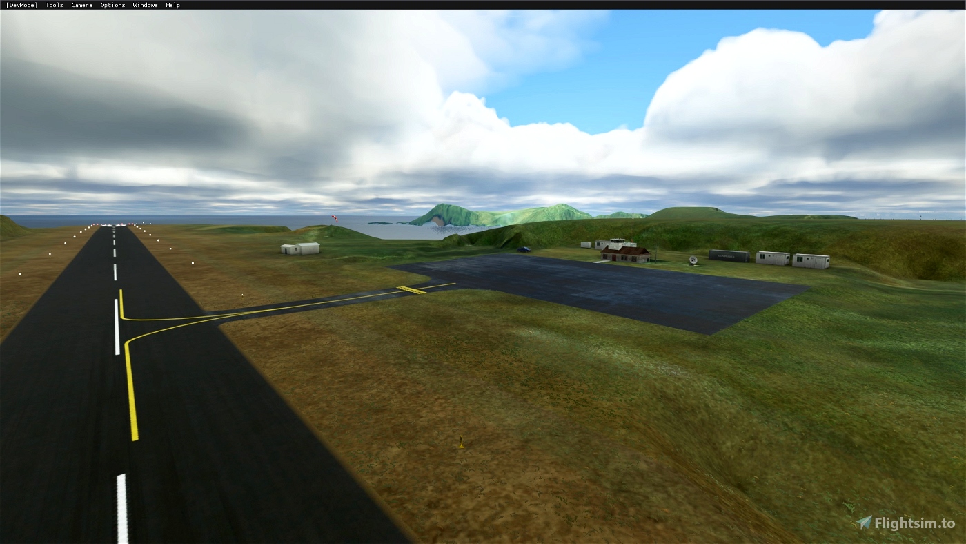
This is a public airfield located at 10 km West of Cumberland Bay (Robinson Crusoe Island).
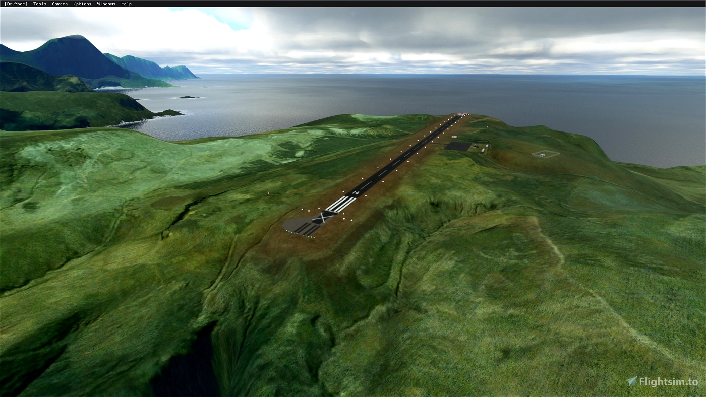
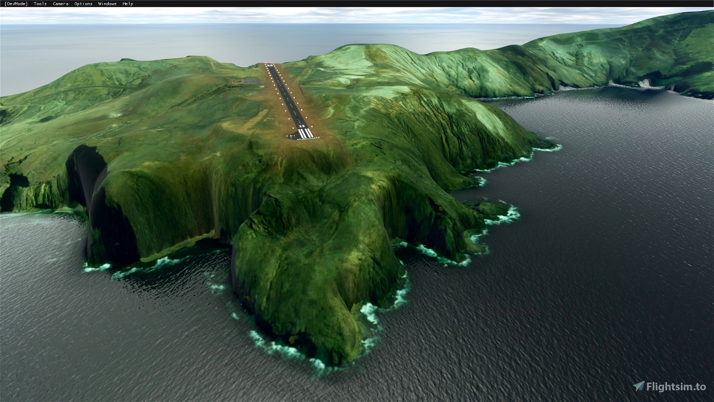
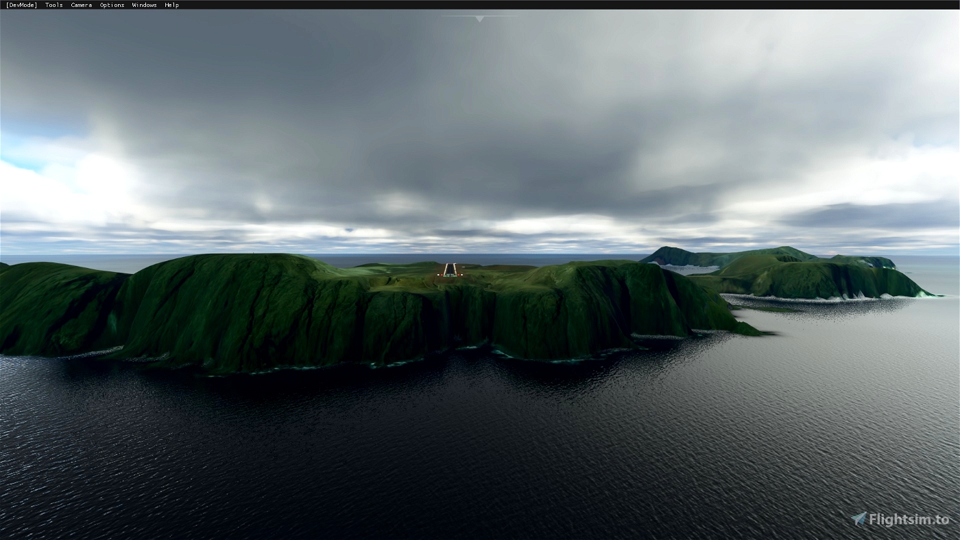
This package will fix the topographic elevations at the airport sorroundings and also the RWY is fixed including the APAPI lights RWY14 (3.2 degrees).
Built only with default MSFS SDK objects (enhanced scenery).
Airfield information:
ICAO: SCIR
RWY: 14/32 (ASPH)
LENGTH: 1007 x 18 m
ELEV.: 132 m / 433 ft
Installation:
Just decompress the main folder into your Flight Simulator "Community" folder (MODELLIB NAME READY).
If you have questions or suggestions, feel free to drop me a comment or a PM.
Happy flights!!

 Fsimmerschile


Спасибо большое! мне нужен этот аэропорт при перелете на остров Пасхи.
2 years ago
Добро пожаловать. Удачных полетов.
Your welcome, happy flights.
2 years ago
Fsimmerschile
VTKDEN777
Nunca imaginé que podría existir una corrección para esta pista.
Lamentablemente no es compatible con el MOD que permite usar los mapas de Google en lugar de los de Bing.
Sin embargo ¡Excelente aporte!
2 years ago
Gracias, si lo que pasa es que cuando cree este escenario, no estaba aun disponible el MOD de G00GLEMaps. Saludos.
2 years ago
Fsimmerschile
MacCITY
Voy a hacer que felipito complete su viaje 😞 (Han pasado 10 años y la herida a un no cierra 😞)
2 years ago
Lamentable desenlace de ese vuelo. Una pena.
2 years ago
Fsimmerschile
elpalta
😀
3 years ago
3 years ago
Fsimmerschile
CaptJohnCoPPickles
3 years ago
3 years ago
Fsimmerschile
DanielMSFS
3 years ago
3 years ago
Fsimmerschile
Cherax74