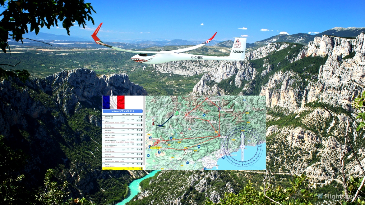
Glider FR Le Verdon 277
JS3-15 or LS4
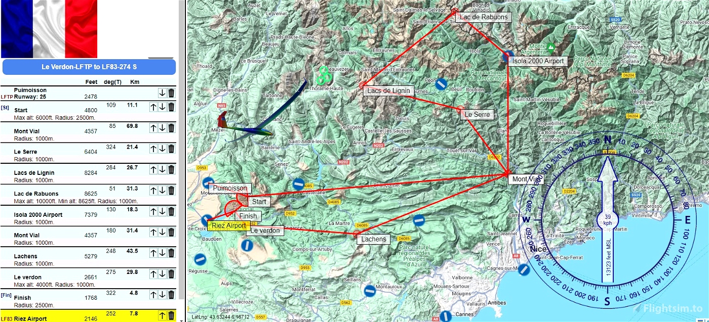
LFTP to LF83
All credits to @ADCKillerman
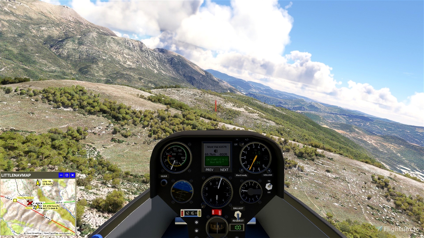
Find the thermal just after take-off to gain altitude
START MAXI 6000 feet
MSFS Local date & time is June 01, 12:00 PM
The flight plan to load is Le Verdon-LFTP to LF83-274 S.pln
You will depart from LFTP Puimoisson (Rwy 25)
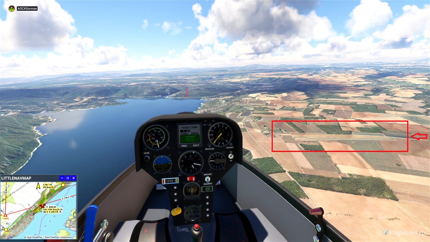
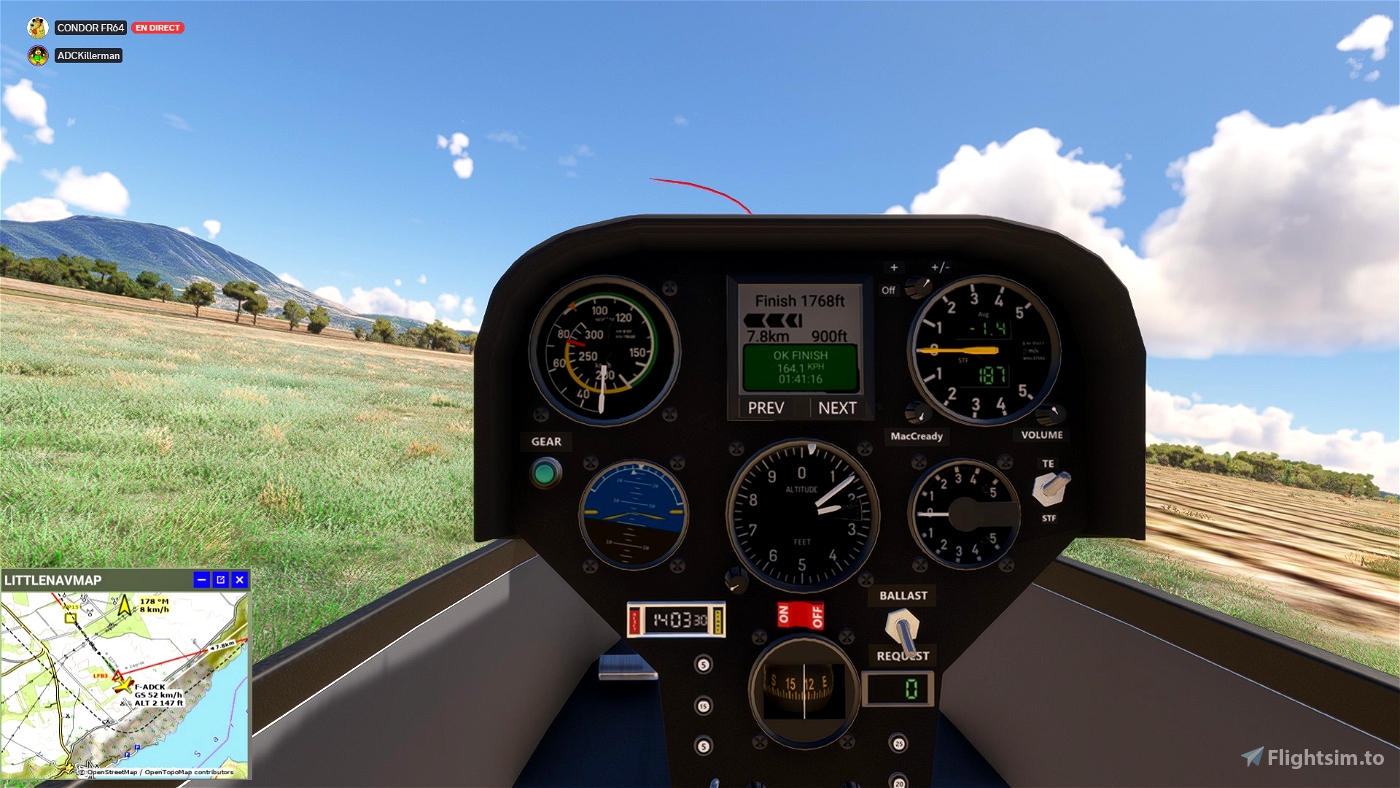
You will land at LF83 Riez Airport
Distance are 296 km total (277 km task) / 184 mi total (172 mi task)
Approx. duration should be 90 to 150 minutes (1h30 to 2h30)
The difficulty is rated as Experienced
The weather
The elevation measurement used is AMSL (Above Mean Sea Level)
The barometric pressure is 29,92 inHg / 1 013 hPa
The temperature is 24°C / 75°F
The aerosol index is 3,00
Puimoisson Runway: 25 2478ft
[St] Start 4800ft Max alt: 6000ft. Radius: 2500m.
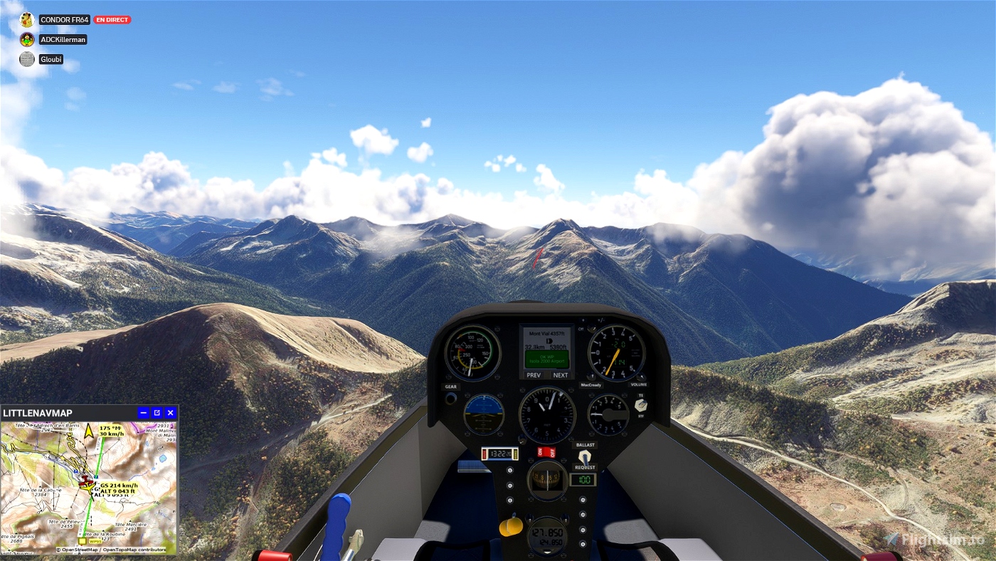
Mont Vial 4357ft Radius: 1000m.
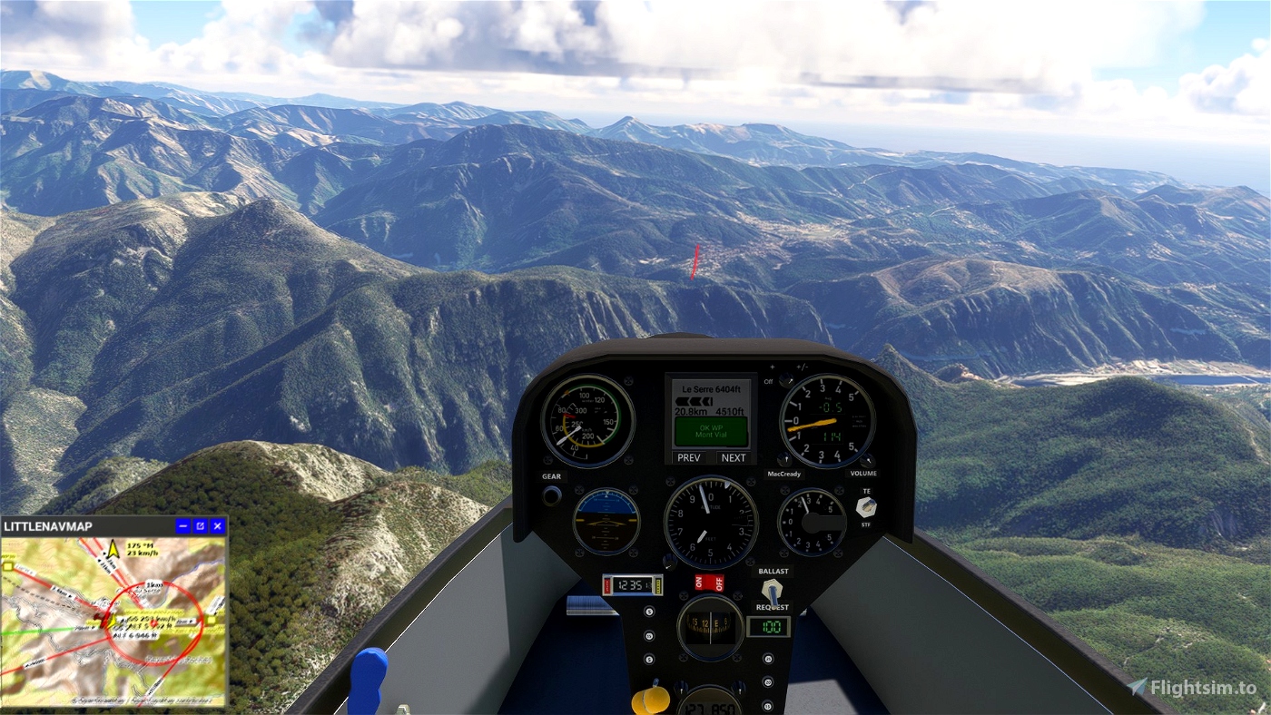
Le Serre 6404ft Radius: 1000m.
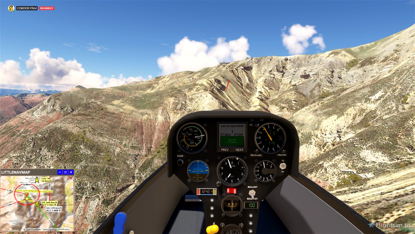
Lacs de Lignin 8284ft Radius: 1000m.
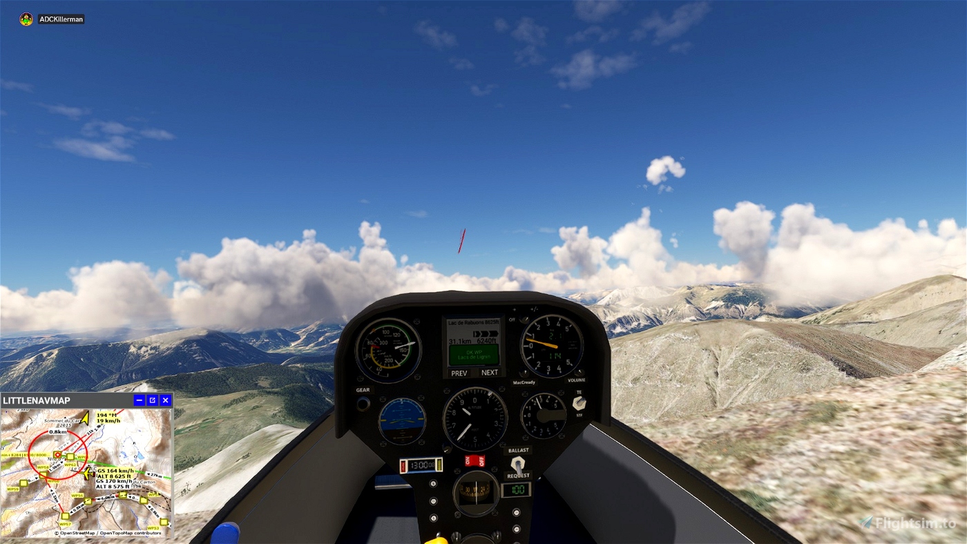
Lac de Rabuons 8625ft Max alt: 10000ft. Min alt: 8625ft. Radius: 1000m.
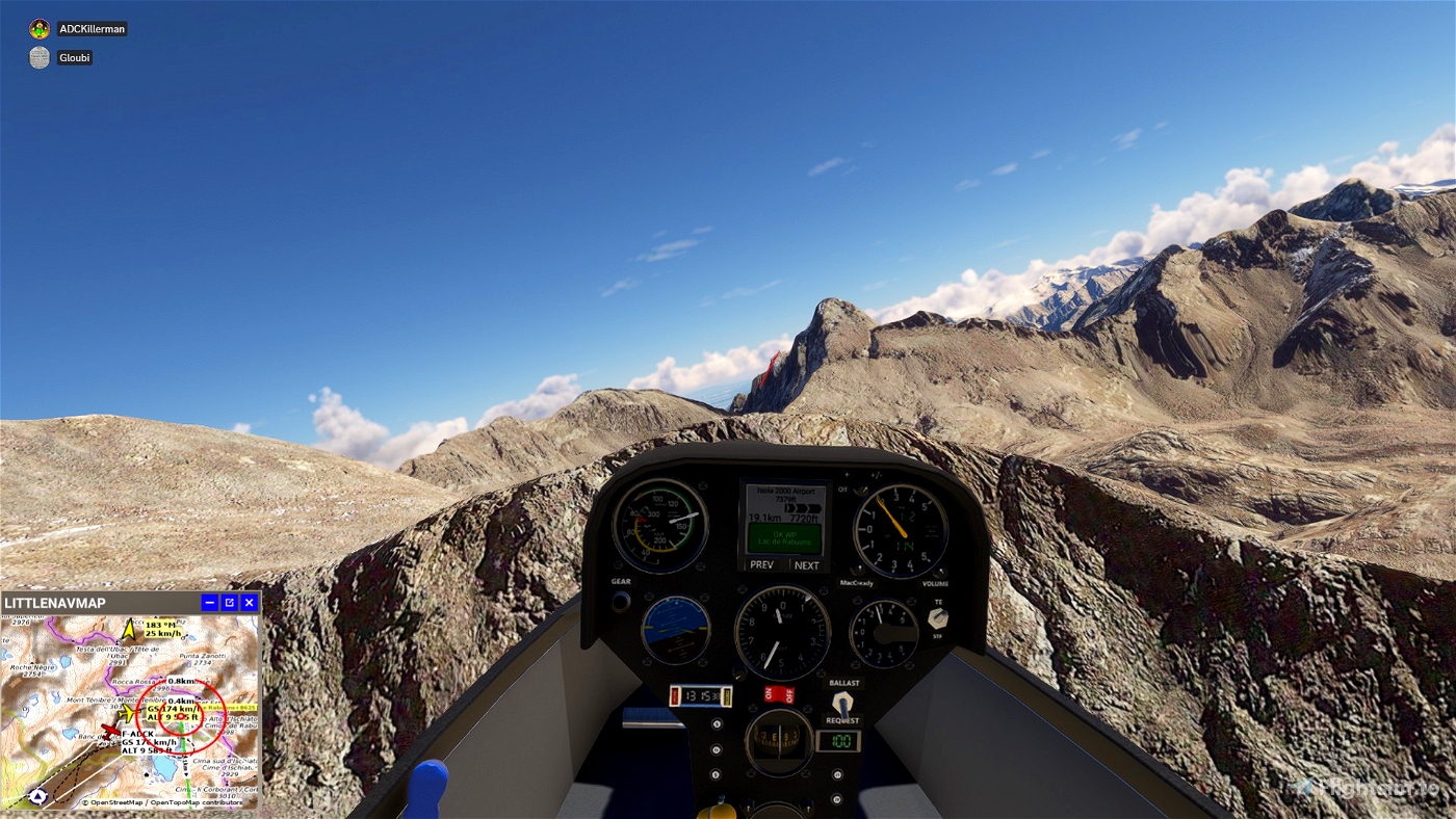
Isola 2000 7379ft Radius: 1000m.
Mont Vial 4357ft Radius: 1000m.
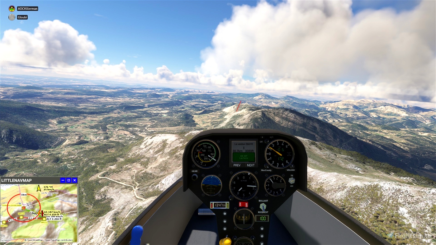
Lachens 5279ft Radius: 1000m.
Le verdon 2661ft Max alt: 4000ft Radius: 1000m.
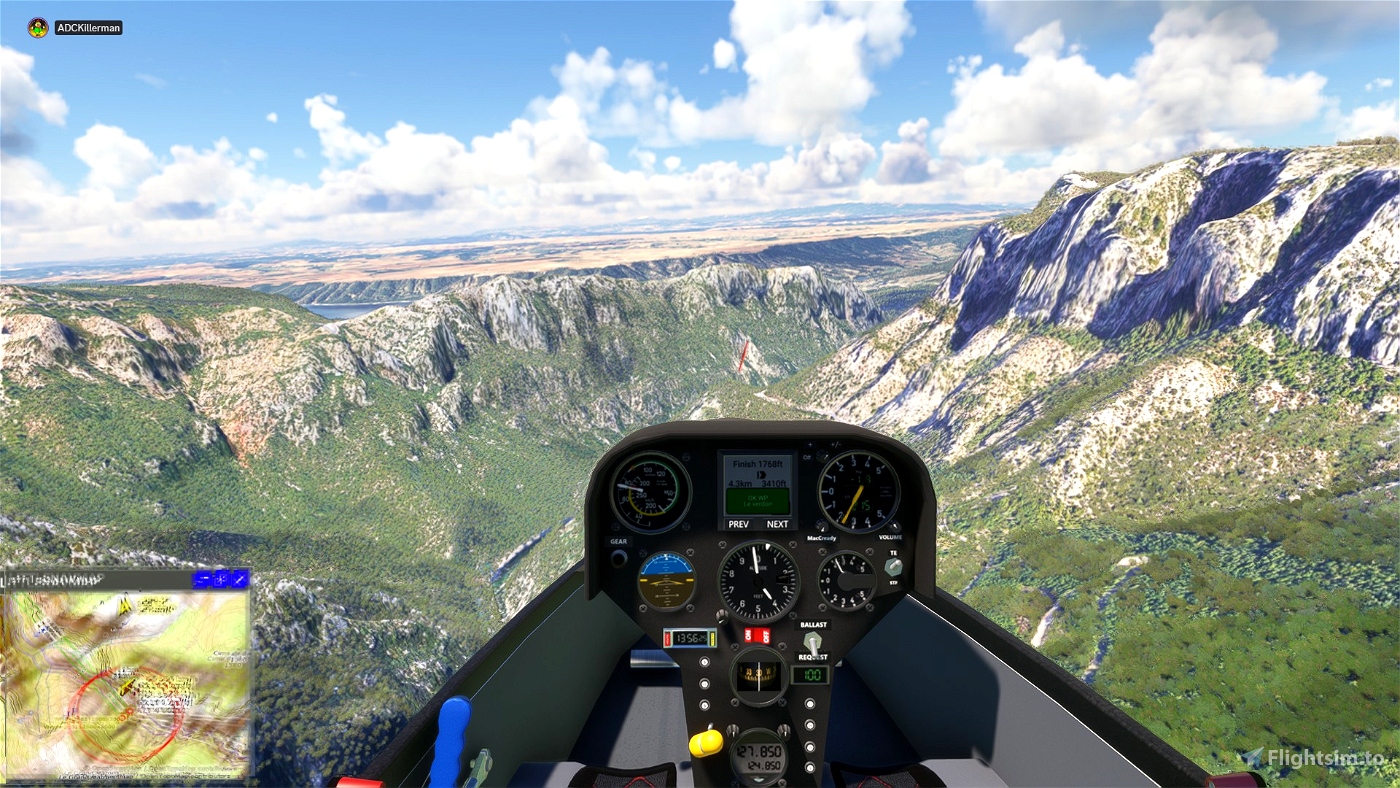
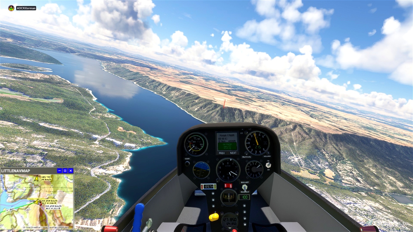
Finish 1768ft Radius: 2500m.
LF83 Riez Airport 2146ft
ls4
https://fr.flightsim.to/file/27986/rolladen-schneider-ls4
JS3
https://fr.flightsim.to/file/56083/jonker-js3-rapture
SCC Sim Soaring Club

 ADCKillerman

