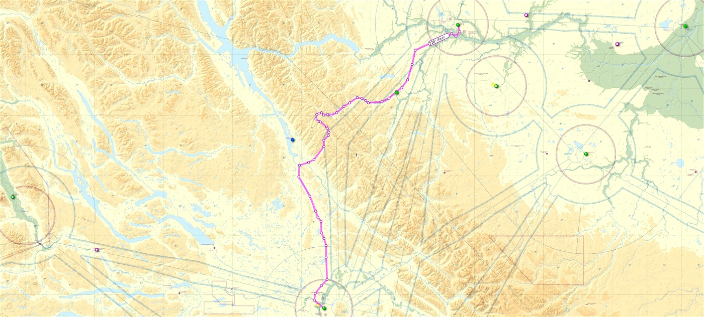
This is a GPS flight plan that is based on the real-world VFR route from Fort St. John BC to Prince George BC.
The route takes you overhead Chetwynd, through the Pine Pass and down on into Prince George.
Fort St. John airport elev. 2280'
Prince George airport elev. 2266'
Recommended enroute altitude 4500 feet or higher.
Flight distance 212 nm
Load these plans from your map screen in the sim and fly using NAV mode.

 deltasim59er


3 years ago
3 years ago
deltasim59er
staggermacfly